-
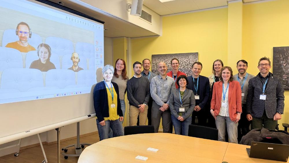
GAF AG selected by the European Environment Agency to lead innovative effort for collecting Grassland Mowing Event Data through Crowdsourcing
GAF AG (GAF), an e-GEOS S.p.A. (Telespazio S.p.A./ASI) company has been awarded by the European Environment Agency (EEA), to lead, together with a consortium of GeoVille Information Systems and Data Processing GmbH and the International Institute for Applied Systems Analysis (IIASA), a crowdsourcing initiative to improve the management and preservation of grasslands through coordinated, community-driven grasslands mowing events monitoring. The European Environment Agency (EEA), entrusted with the cross-cutting coordination of access to in-situ data within the Copernicus In-Situ Component, has awarded a consortium with partners GeoVille Information Systems and Data Processing GmbH and the International Institute for Applied Systems Analysis (IIASA and led by GAF AG (GAF), an e-GEOS S.p.A.…
-
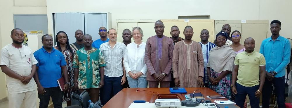
GAF AG to upgrade Burkina Faso’s mining cadastre system (eMC+) under the World Bank-funded PARGFM project
GAF AG, an e-GEOS (Telespazio/ASI) company, has been awarded a World Bankfunded contract to modernise and expand Burkina Faso’s mining cadastre system eMC+ within the framework of the Support to Land and Mining Management Strengthening Project (PARGFM) at the Ministry of Economy, Finance and Development. The system update of GAF AG’s computerised mining cadastre platform eMC+ aims to reinforce efficiency, digital governance and customer service, thereby ensuring information transparency and accessibility within EITI-standards, and fostering land and mining cadastre interoperability in Burkina Faso. The Ministry of Economy, Finance and Development of Burkina Faso’s “Support to Land and Mining Management Strengthening Project” (“Projet d’Appui au Reinforcement de la Gestion du Foncier…
-
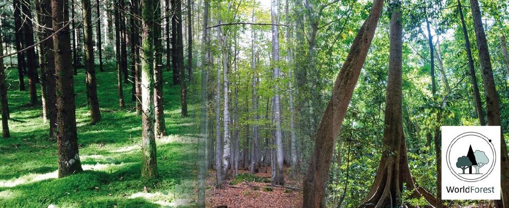
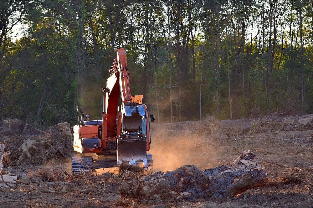
GAF AG Awarded ESA-Funded WorldForest Project to Drive Innovation in Sustainable Forest Management
The project is funded by ESA under the Earth Observation Science for Society (EO4Society) element of the FutureEO-1 Segment-2 Programme (2023–2025) Applications Element, which reinforces ESA’s commitment to advancing Earth Observation (EO) applications for societal benefit. The WorldForest project will be implemented by a highly qualified consortium comprising GAF AG, VITO, DHI, GFZ, NMBU and Caribou Digital, each of which brings specialized expertise that addresses the project’s ambitious goals. Together, this consortium will integrate complementary strengths to deliver cutting-edge solutions for adaptive and sustainable forest management. WorldForest aims to develop innovative methodologies and digital tools to support adaptive and sustainable forest management. The project addresses the requirements of the new…
-
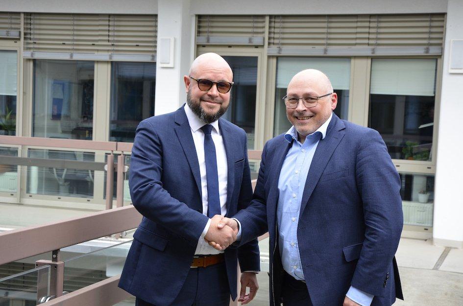
Change in Management Board of GAF AG
The Supervisory Board of GAF AG, an e-GEOS S.p.A. (a 80/20% joint venture between Telespazio and the Italian Space Agency) company located in Munich and Neustrelitz, Germany – embedded in the Space Alliance of European high-tech leaders Leonardo S.p.A. and Thales S.A., appointed Mr Philippe Moreels as new Managing Director (Vorstand) of GAF AG. In this position, he succeeds Dr. Gernot Ramminger. Philippe Moreels brings extensive international experience in the space sector, with a strong track record in business development, innovation, and strategic leadership. Before joining GAF AG, he served as Chief Commercial Officer at Look Up Space, and previously held key roles at Airbus Urban Mobility, Airbus Defence and…
-
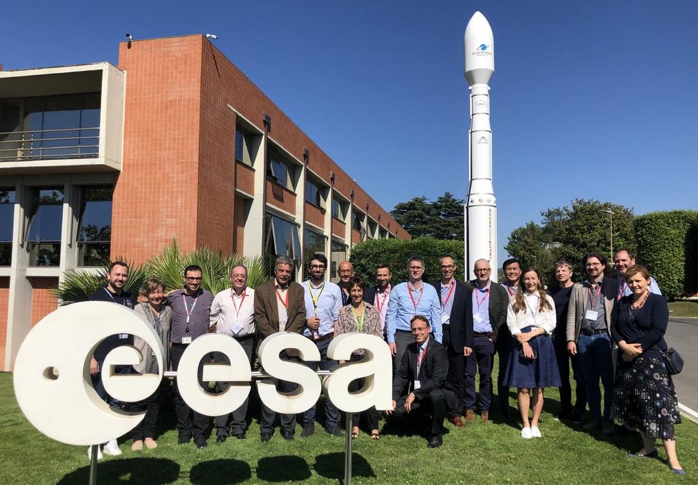
A European team headed by GAF AG operates the Copernicus Contributing Missions Rapid Response Desk Service
GAF AG, an e-GEOS S.p.A. (Telespazio S.p.A./ASI) company, has been entrusted by the European Space Agency (ESA) with the task of setting up and operating the Copernicus Contributing Missions (CCM) Rapid Response Desk Service, a key element of the Copernicus Programme, starting in June 2024 and up to 2028. As the Prime Contractor, GAF AG leads a European industrial team of specialised Earth Observation (EO) service and digital infrastructure providers, comprising e-GEOS, Sinergise Solutions, Telespazio Ibérica, T-Systems and TAITUS. The CCM Rapid Response Desk (CCM RRD) ensures the operational continuity of rapid on-demand Earth Observation data provision from the Copernicus Contributing Missions (CCMs). Users of the service are primarily the…
-
ESA WorldAgrocommodities contract awarded to GAF AG and consortium
The project, with a duration of 24 months, focuses on the EUs Deforestation Free Supply Chain Regulation (EUDR). The objective is to support EU Member States in verifying that imported commodities come from deforestation free areas, and the project will contribute to the EU’s emission reduction policies. A consortium led by GAF AG, and also includingpartners VITO (Belgium), Wageningen University (Netherlands), GFZ (German), e-GEOS (Italy), Meridia and Terrasphere (Netherlands), has been awarded a contract by the European Space Agency to perform the ESA WorldAgrocommodities project, which started in the first week of September 2024. It has a duration of 24 months and will make a major contribution to the EUs…
-
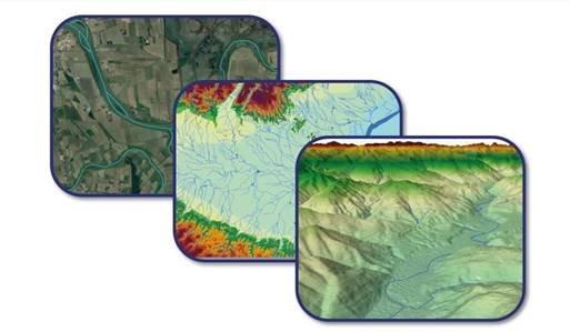
Upgrade of EU-Hydro for the Copernicus Land Monitoring Service (CLMS)
The Copernicus Land Monitoring Service (CLMS) framework contract for upgrading the pan-European hydrological reference dataset EU-Hydro has now kicked off. The aim with the EU-Hydro suite of products is to provide a key reference suite for hydrological applications across Europe, while also still being a reference dataset for mapping within the Copernicus services. Several new methodological approaches will be tested and implemented for the creation of the EU-Hydro suite of products, with the goal of having them ready for roll-out by mid-2025. The new EU-Hydro suite of products will be produced for all river basins in Europe. One of the main innovations will be the availability of raster layers —…
-
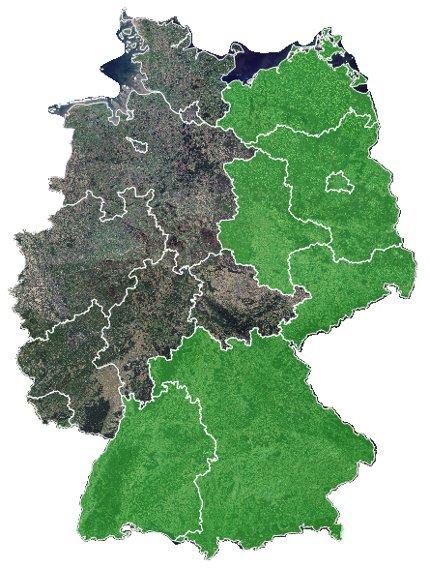
GAF AG awarded contract for CAP-Area Monitoring 2024 in Bavaria
As part of the European Common Agricultural Policy (CAP), GAF AG, an e-GEOS (Telespazio/ASI) company, has been awarded a multi-year framework contract for the automated analysis of satellite data for the monitoring of all agricultural areas in the German federal state of Bavaria. The contract runs for four years and covers the monitoring of numerous crop types as well as the evaluation of compliance with agri-environmental and climate protection measures using optical and radar data from the European Copernicus Sentinel Programme. As part of an ongoing process of reforms to modernise and simplify the EU’s CAP, since January 2023 the monitoring of subsidy payments has been carried out on the…
-
GAF AG gewinnt Ausschreibung zum GAP-Flächenmonitoring 2024 in Bayern
Die GAF AG, ein e-GEOS (Telespazio/ASI) Unternehmen, hat den Zuschlag für einen Rahmenvertrag zur hochautomatisierten Auswertung von Satellitendaten hinsichtlich der Überwachung sämtlicher landwirtschaftlicher Flächen im Freistaat Bayern im Rahmen der Europäischen Gemeinsamen Agrarpolitik (GAP) erhalten. Der Vertrag ist auf vier Jahre angelegt und umfasst die Überprüfung zahlreicher Kulturpflanzen sowie die Bewertung der Einhaltung von Agrarumwelt- und Klimaschutzmaßnahmen unter Verwendung von optischen und Radardaten des Europäischen Copernicus- Sentinel Programms. Im Rahmen eines laufenden Reformprozesses zur Modernisierung und Vereinfachung der GAP in der EU erfolgt seit 01. Januar 2023 die Kontrolle der Beihilfezahlungen auf der Basis eines umfassenden und kontinuierlichen Monitoringkonzepts. Es basiert auf hochinnovativen Technologien und greift in erster Linie auf…
-
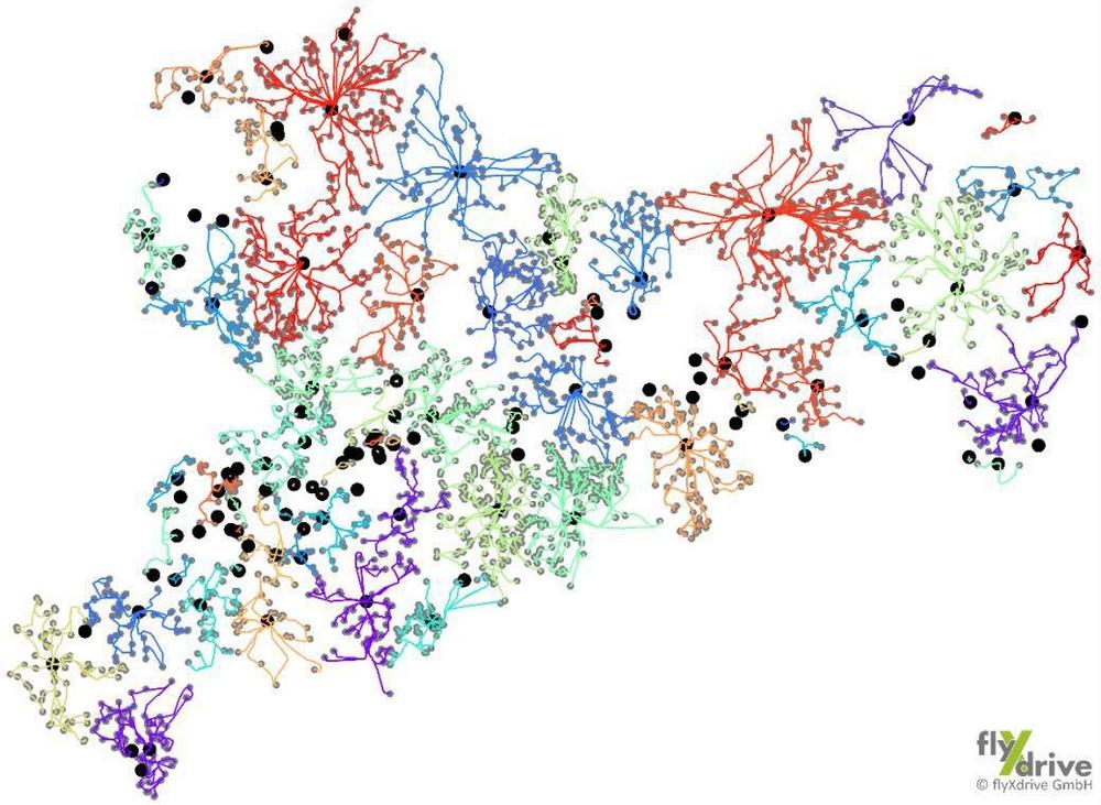
GAF AG und flyXdrive gelingt größtmögliche Flächennutzungskartierung in kürzester Zeit
Einzigartige Kartierung landwirtschaftlicher Nutzflächen in Sachsen durch cloudbasierte KI-Lösung AgroCrop® der GAF AG zusammen mit den Drohnenexperten von flyXdrive GmbH im Rahmen der Gemeinsamen Agrarpolitik (GAP) der EU. Der GAF AG, ein e-GEOS (Telespazio/ASI) Unternehmen und der Firma flyXdrive GmbH gelingt eine der bisher größten und schnellsten Flächennutzungskartierungen eines Bundeslandes. Dafür kombinieren sie auf einzigartige Weise KI-Analyse, Satellitendaten, Drohneneinsatz und -aufnahmen. Mit nur zwei Tagen Vorlaufzeit und innerhalb von nur einem Monat generiert flyXdrive in Sachsen auf ca. 10.300 km eine Gesamtzahl von 24.000 Bildern für die automatische Überwachung von landwirtschaftlichen Parzellen im Kontext der Gemeinsamen EU Agrarpolitik (GAP). Die GAF verarbeitet alle Daten mit ihrer eigens entwickelten Cloud-basierten KI-Lösung…